FirstTwo™ by CentralSquare
Data Intelligence Like Never Before
Real-time, map-based intel for faster, smarter, and more informed decisions

FirstTwo™ delivers real-time, map-based intel to first responders’ devices to make faster, smarter, and more informed decisions on the ground – improving the safety of first responders and the communities they serve.
Empower your officers, firefighters, and EMS professionals with real-time, actionable intelligence that bridge the gap between traditional systems and modern mobile workflows.
FirstTwo™ pushes real-time intelligence directly to responders such as information about individual addresses, phone numbers, related persons, and more. All without manual intervention—saving dispatchers time and improving safety.
No more sifting through mountains of data to find what responders need, FirstTwo turns floor plans from schools, hospitals, malls and commercial buildings; LPR and camera data; and much more into easy-to-understand map pins for quick, decisive action in the field.
FirstTwo™ is the first of its kind data intelligence platform built for first responders where intelligence moves freely between your 911, CAD, mobile response, and record systems and right into the hands of responders.
Real-time, Actionable Data
Instantly access floor plans from security cameras, LPRs, buildings, and more—all from your mobile device.

Who's On the Other Side Of the Door
Before an officer ever knocks, FirstTwo™ tells them everything they need to know about an individual, location, incident, or active perimeter

Your Missing Tool
FirstTwo™ delivers life-saving data seamlessly across your entire agency; supporting patrol, field teams, real-time centers, analysts, and investigators.

Easy to Use and Understand
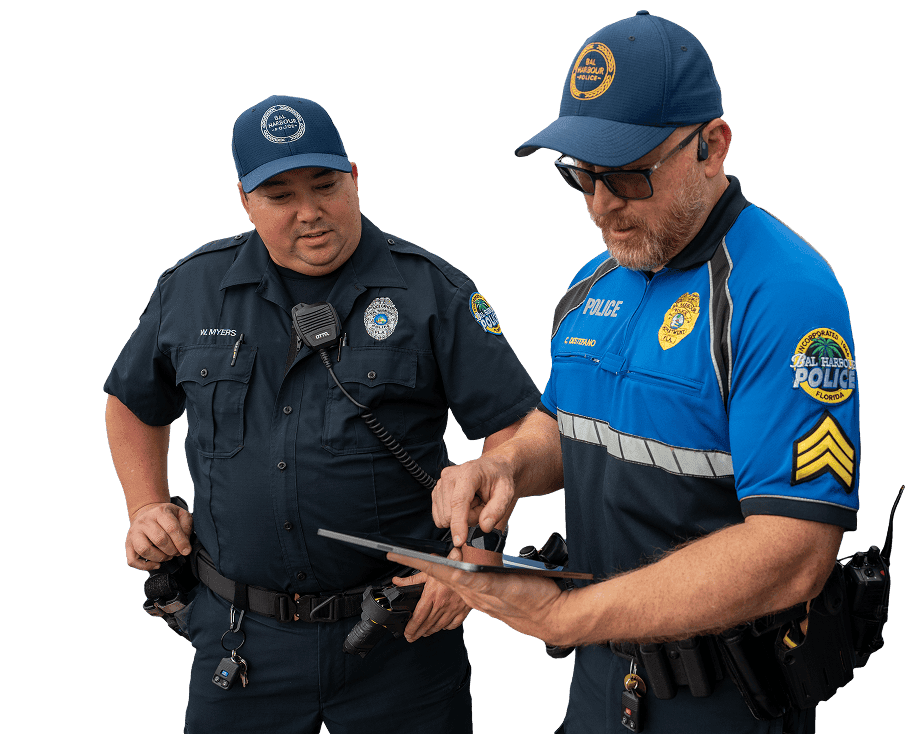
Visual, map-based intel means anyone with a mobile device can quickly and effectively act on the information provided to them by FirstTwo™.
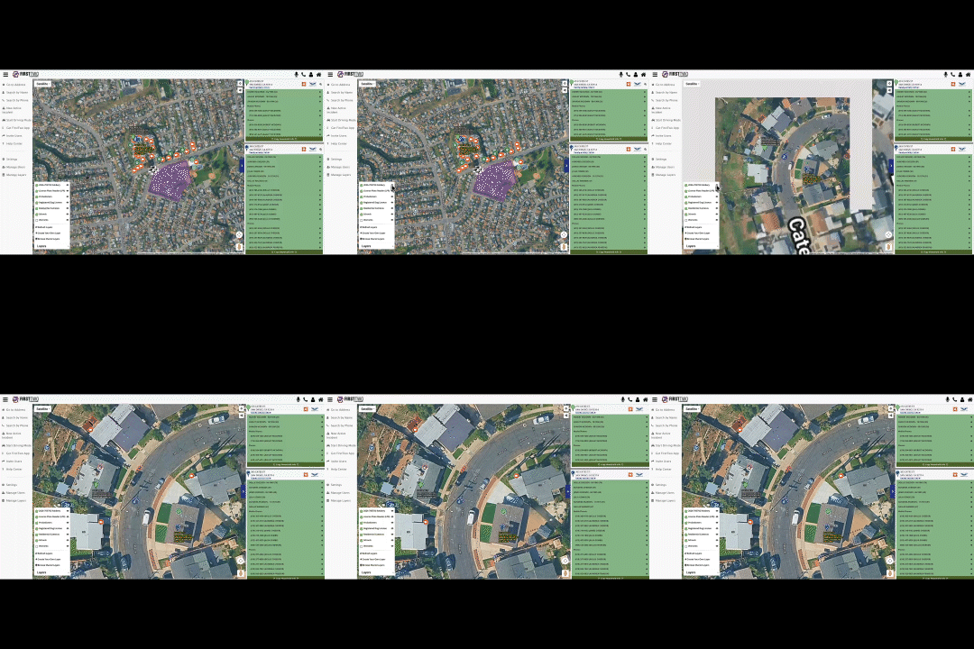
Live Map-Based Data
Stay informed with live, map-based data available on any device, all while en route to the scene.
Get critical intel on:
- Security and traffic cameras
- Location floorplans
- Past resident history
- Current resident information
- Pet records
- Surrounding hazards and environmental risks
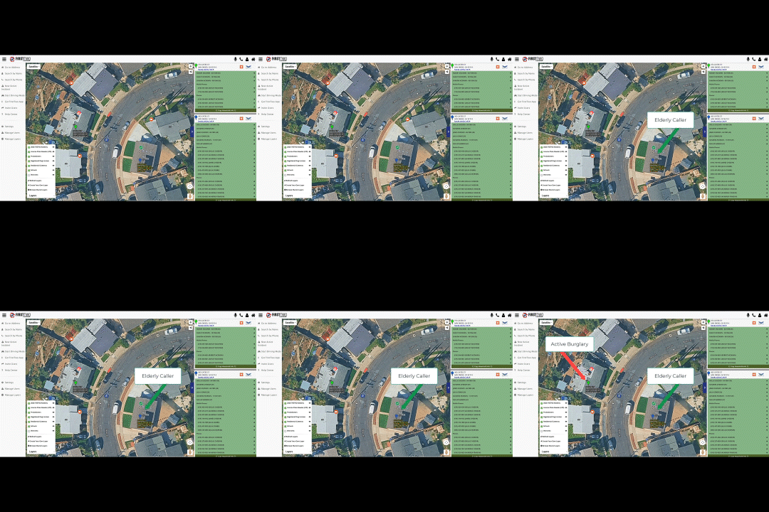
Actionable Data in the Field
Give officers the situational awareness they need in the field – all accessible hands-free on any mobile device.
Stay safe, informed, and hands-free with:
- Active warrant information
- Names
- Addresses
- Residential cameras
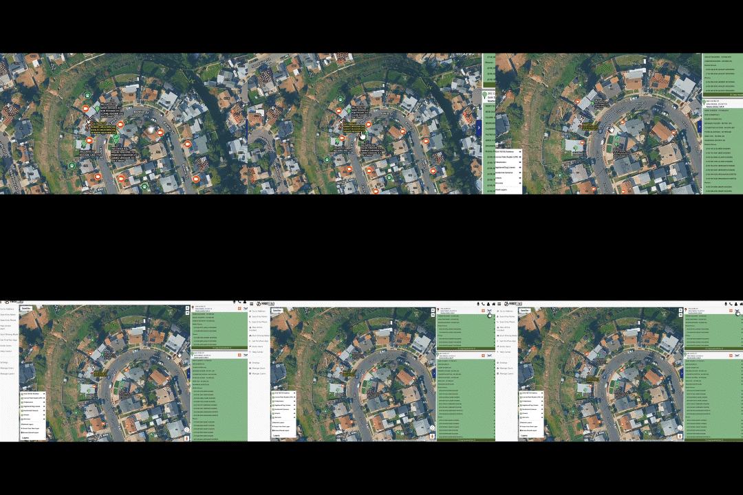
Real-time Access to Lifesaving Information
Get immediate oversight as you drive to the scene, with names and addresses shown on the map via text or audio.
Gain a clear understanding of what lies ahead for increased officer safety and better response plans.
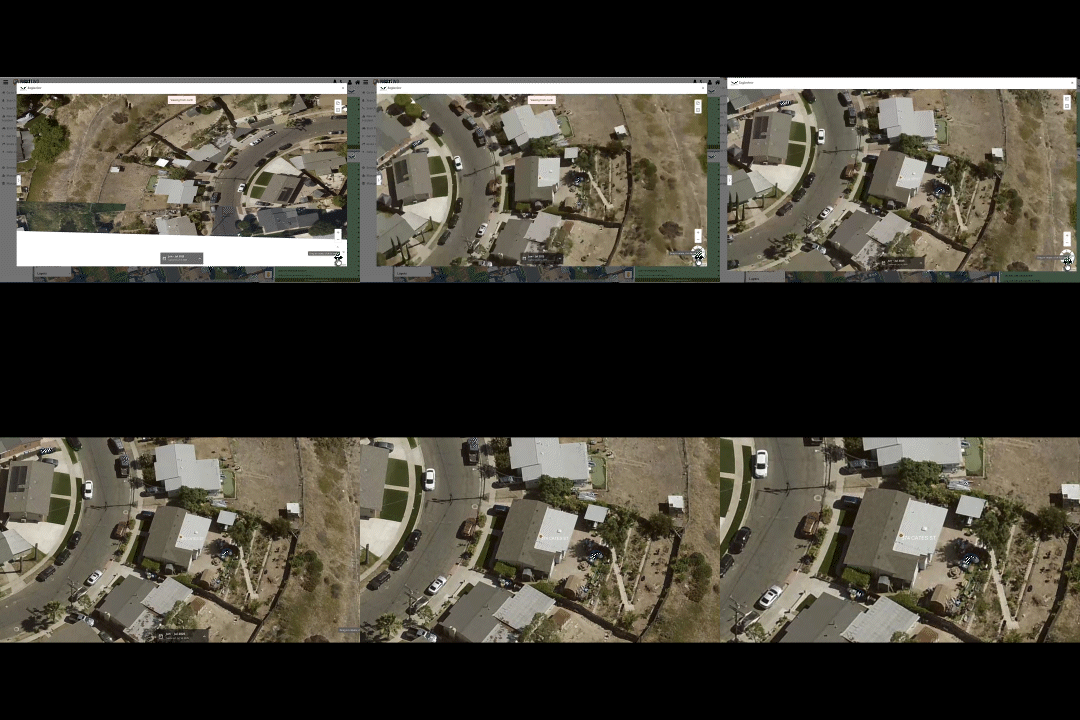
Revolutionizing Public Safety Intelligence
View residential information from every map angle for every perspective on the scene, such as:
- Active camera locations
- Emails
- Phone numbers
- License plate numbers

Smart, Safe Officers Build Strong, Safe Communities
Transforming the way public safety agencies get life-saving data into the hands of first responders
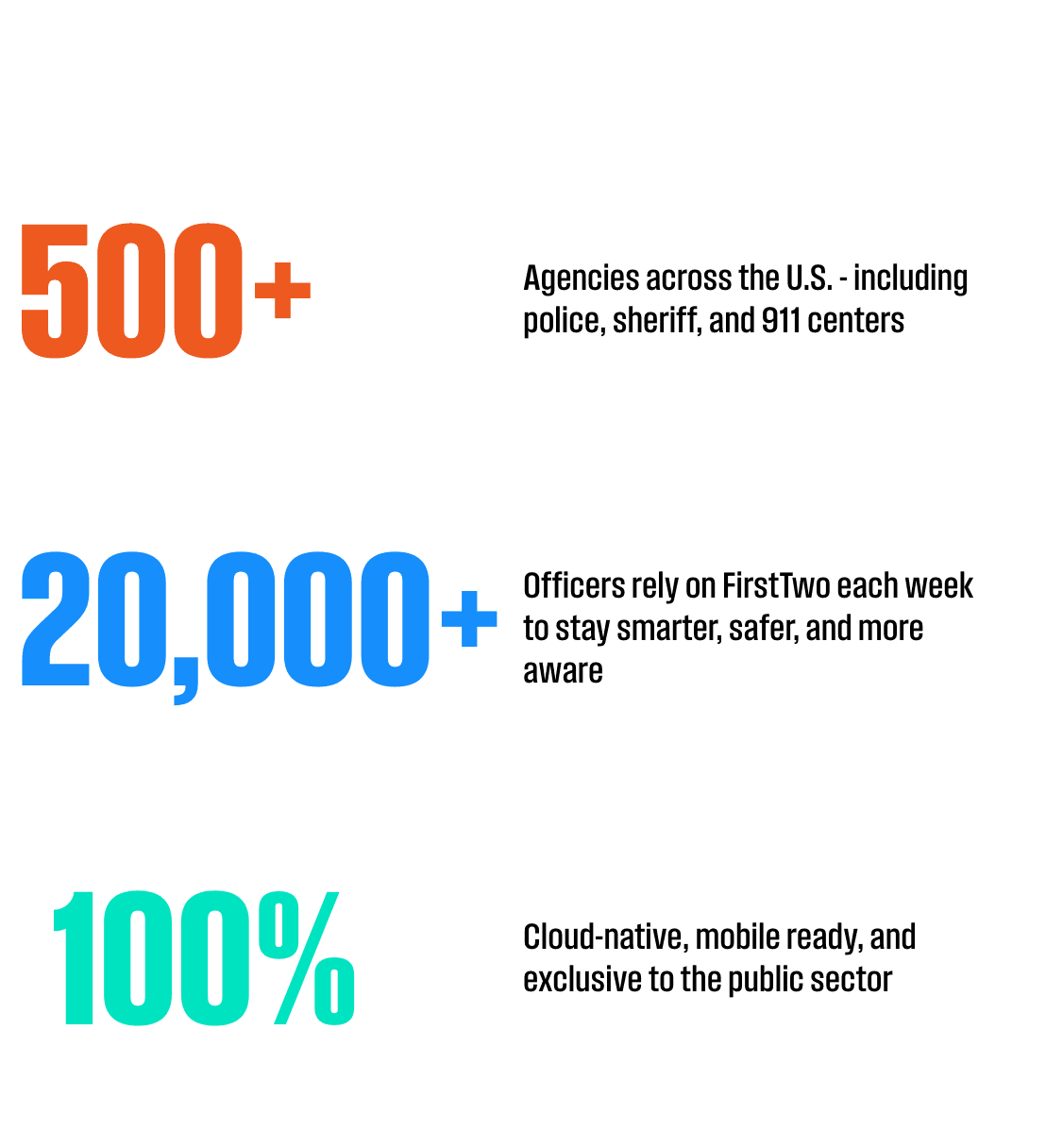
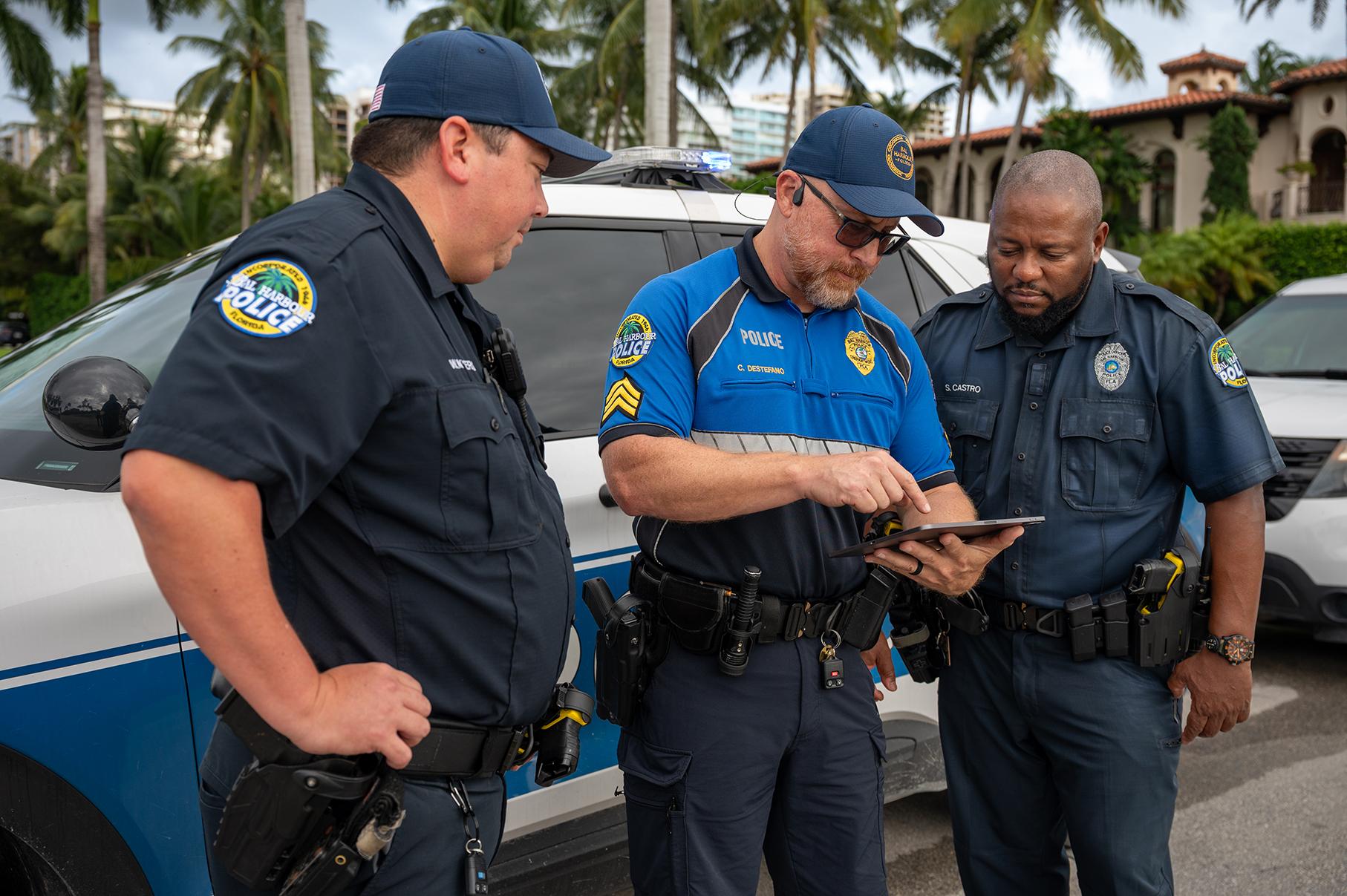
"After submitting the information and number that was used, FirstTwo™ provided the exact number sequence and an exact location of where he last resided. Investigators made contact with a family member and located the caller."
Police Investigator
How FirstTwo™ Keeps Communities Safer
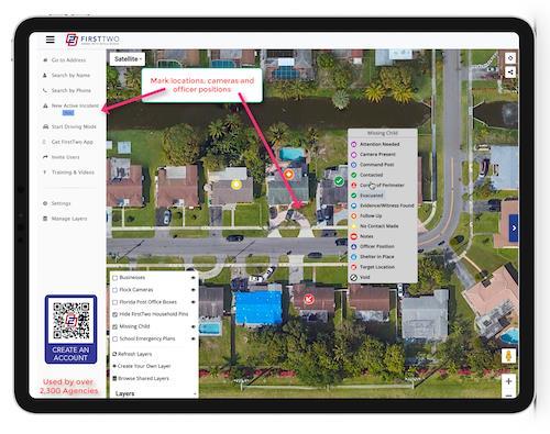

Quick Access to Critical Data
Find phone numbers, names and addresses in minutes when previous manual searches could take hours

Improved Situational Awareness
Get real-time insights before, during, and after an incident

Hands-Free, Voice-Activated Solution
Using a mobile device, responders use simple voice commands to access data instantly

Mobile Integration
Work seamlessly with your existing CAD & RMS systems on smartphones and tablets